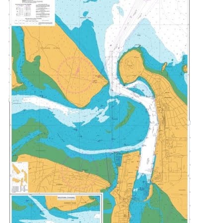
Description
690mm x 900mm
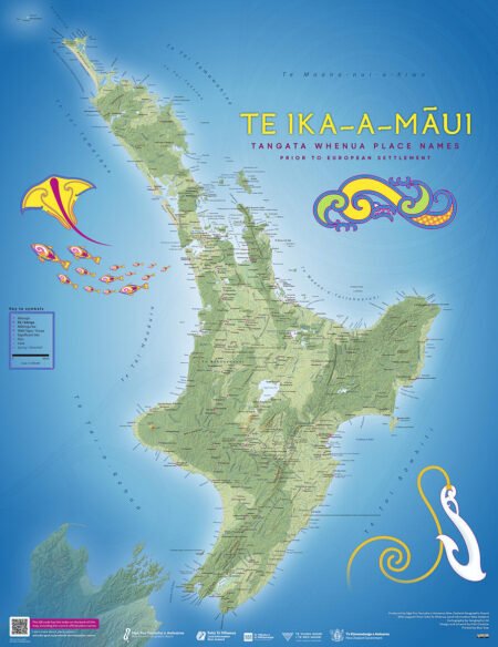
Te Ika-a-Maui tangata whenua place names
Double sided Map with place names and meanings on the back
- the 1st editions of Te Ika-a-Māui and Te Wai Pounamu circa 1840 maps published in 1995 by the Department of Survey and Land Information for Ngā Pou Taunaha o Aotearoa New Zealand Geographic Board
- Treaty of Waitangi claims’ settlements
- feedback from various iwi and hapū of Aotearoa New Zealand
MATT LAMINATION FINISH

