Description
610mm x 920mm
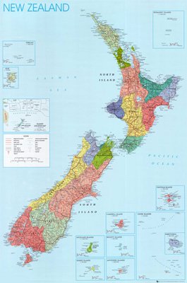
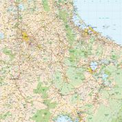
Our most popular NZ Map for schools, shows different coloured NZ Regions.
Districts – Northland, Auckland, Waikato, Bay of Plenty, Gisborne, Taranaki, Manawatu-Wanganui, Hawkes Bay and Wellington in the North Island; Tasman, Marlborough, Canterbury, West Coast, Otago and Southland in the South Island.
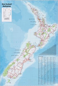
This New Zealand Map shows railways and roads of NZ, Towns of NZ and National Park boundaries throughout NZ. Shows Kermadec Islands, Tokelau, Niue, Chatham Islands, Rarotonga, Cook Islands, Campbell Island, Bounty Islands, Antipodes Islands, Auckland Islands and Snares Islands, along with an insert showing location of each Island group.
Bright coloured NZ REGIONAL WALL MAP.
MATT LAMINATION FINISH

