Description
700mm x 1000mm
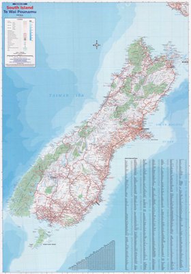
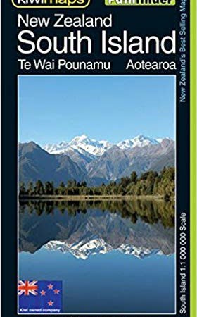
South Island reversible Map – Te Wai Pounamu.
Detailed map showing roads, National Parks, walking tracks, ski fields, index to towns and places, distance grid between main centres and relief shading. Also shows tourist routes, including Alpine Pacific and Classic NZ Wine Trail.
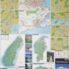
Reverse shows City (CBD) and Suburb Maps – Christchurch, Christchurch Suburbs, Picton, Nelson, Dunedin, Dunedin Suburbs, Queenstown, Blenheim and Invercargill. Fiordland, Kahurangi, Arthur’s Pass and Aoraki/Mt Cook & Westland Tai Poutini National Park Maps including camping, hiking paths and tourist points of interest.
This Map has every town in the South Island marked on it!
PAPER FOLDED
Also available laminated

