Description
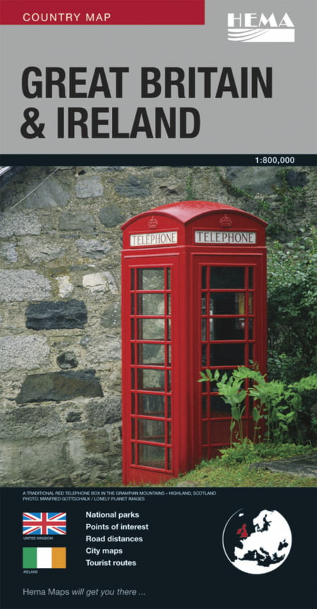
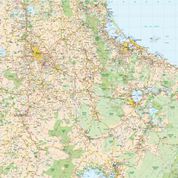
HEMA has produced a new range of international maps. The cartography of Hema’s map of Great Britain & Ireland is produced by one of the world’s leading cartographic houses. The road detail is comprehensive and yet clearly presented and easy to use. Topography is shown with subtle shaded relief colouring.
The map includes several insets showing enlargements of the major centres, London, Dublin, Glasgow, Edinburgh, Liverpool, Birmingham, Cambridge and Oxford. These insets show the city roads and mark the location of both important/useful and interesting buildings. There’s also a handy distance chart.
The Great Britain & Ireland travel map features:
- City maps
- National parks
- Places of interest
- Camping grounds
- Tourist routes
- An index
The map is printed on paper and has a protective coated cardboard cover.

