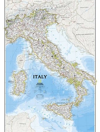
Description
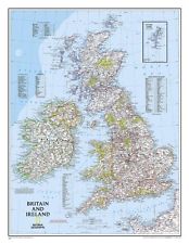
Approx. 600mm x 760mm
This classic-style map of Britain & Ireland shows political boundaries, major highways and roads, cities and towns, airports, and other geographic details.
Thousands of place-names and exact borders are carefully researched by National Geographic’s map researchers and editors ensuring the utmost accuracy

