Description
790mm x 510mm
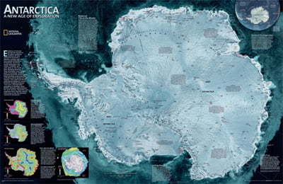
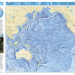
National Geographic Map.
A striking view of Antarctica’s Terrain, compiled from 4,500 satellite scans.
Additional insert maps show Surface Elevation, Ice Sheet Thickness, Velocity of Ice Flow, Sea Ice Movement and Wind Flow.
MATT LAMINATION FINISH

